Key Rings, Model Cars, Point Shot, Boston Celtics, Pacific, Oceania & Indian Ocean Flags, Novelty Flags
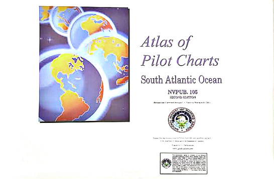
Atlas of Pilot Charts South Atlantic Ocean 2nd edition PUB105
$ 49.43
Pilot Atlas South Atlantic (2nd Edition). Atlas of Pilot Charts 105 covers the South Atlantic Ocean from the northern coast of Brazil and northwest coast of Africa down to the southernmost tips of South America and Africa. The chart is divided by each month of the year. Pilot Charts depict averages in prevailing winds and currents, air and sea temperatures, wave heights, ice limits, visibility, barometric pressure, and weather conditions at different times of the year. The information used to compile these averages was obtained from oceanographic and meteorologic observations over many decades during the late 18th and 19th centuries. The Atlas of Pilot Charts set is comprised of five volumes, each covering a specific geographic region. Each volume is an atlas of twelve pilot charts, each depicting the observed conditions for a particular month of any given year. The charts are intended to aid the navigator in selecting the fastest and safest routes with regards to the expected weather and ocean conditions. The charts are not intended to be used for navigation. Dimensions: 28-1/2″ x 20″. Author: National Imagery And Mapping Agency Publisher: ProStar Publications, Inc. Edition Date: 2011 (Revised) Number of Pages: 16
Related products
-
-
 Notions The Weather Experiment: The Pioneers Who Sought to See the Future $ 16.16 Select options This product has multiple variants. The options may be chosen on the product page
 -

-