Key Rings, Novelty Flags, Point Shot, Boston Celtics, Bebidas, Chartbooks
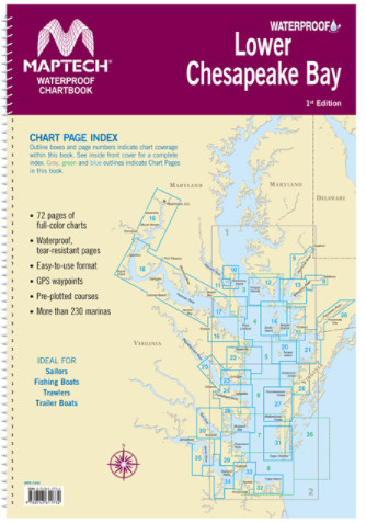
Maptech Waterproof Chartbook Lower Chesapeake Bay 1st Edition
$ 80.96
Solomons Island to Norfolk, Va. Offers full-color charts on waterproof, tear-resistant pages. Easy-to-use format includes GPS waypoints, pre-plotted courses and more than 230 marinas. 72 chart pages. Format: Springbound Lay FlatPublisher: Maptech
Related products
-
-
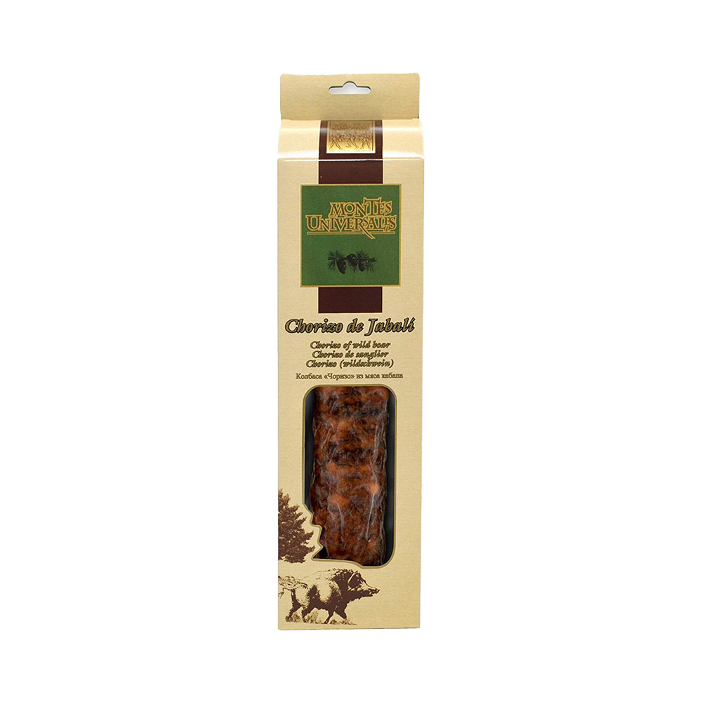
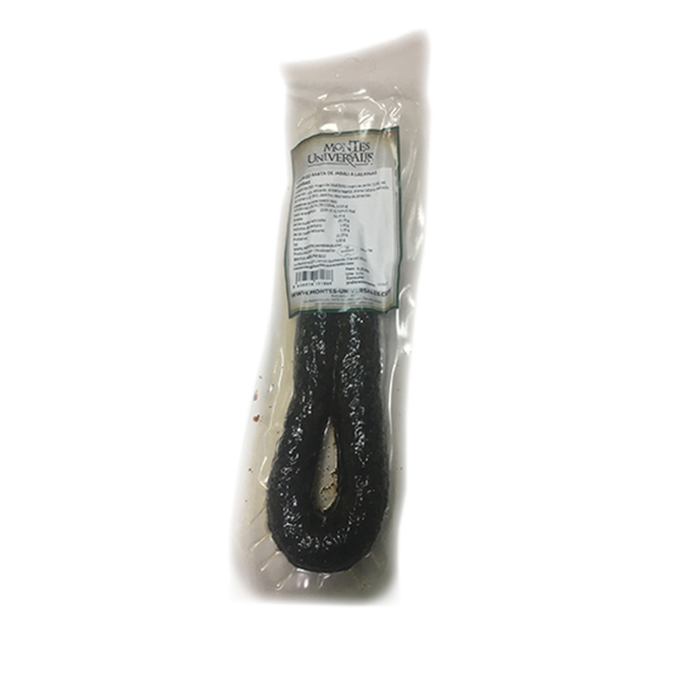 Notions Chorizo Sarta de Jabalí a las finas hierbas – 250 g $ 21.66 Select options This product has multiple variants. The options may be chosen on the product page
 -
-
