Nv Charts, Europe & The Arctic Flags, Point Shot, Mbt 018, Chartbooks, Model Cars
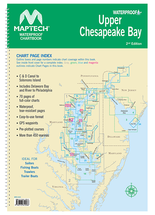
Maptech Waterproof Chartbook Upper Chesapeake Bay 2nd Edition
$ 80.96
Covers C&D Canal to Solomons Island and includes Delaware Bay and River to Phildelphia. Offers full-color charts on waterproof, tear-resistant pages. Easy-to-use format includes GPS waypoints, pre-plotted courses and more than 450 marinas. 70 chart pages. Format: Springbound Lay FlatPublisher: Maptech
Related products
-
-
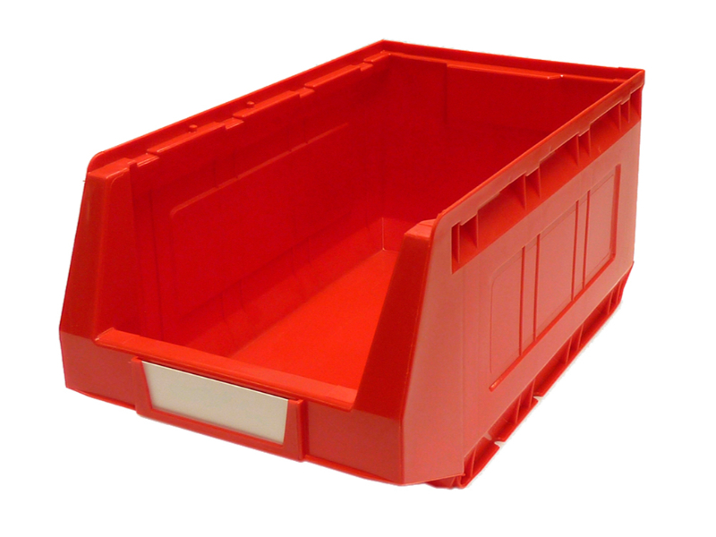
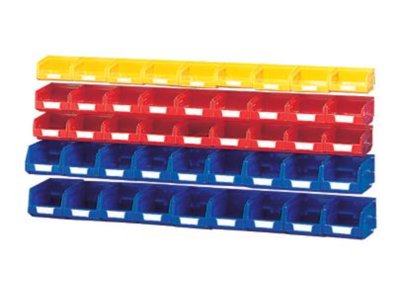
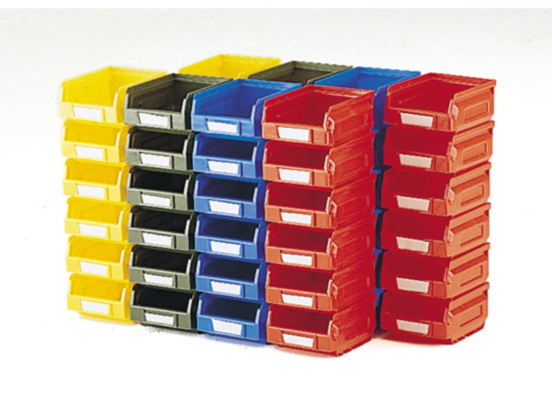 Notions Small Parts Bins – Plastic Bin Kit 2001-B (Pack of 48). WxDxH 103X120X62mm Mixed Colours _SKU-13031001 $ 99.59 Select options This product has multiple variants. The options may be chosen on the product page
 -
-
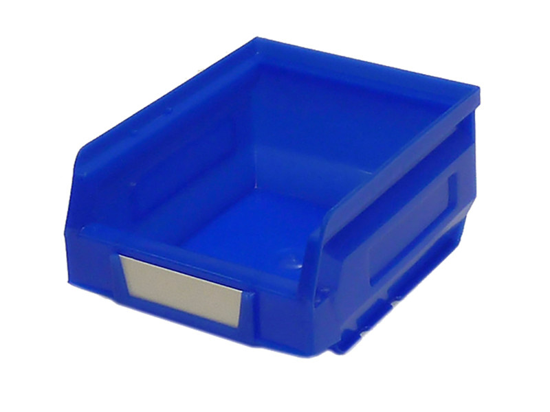
 Knitting Notions Small Parts Boxes – Plastic Bin Kit Mixed (Pack of 45). Mixed Colours _SKU-13031092 $ 92.36 Add to cart