Nv Charts, Europe & The Arctic Flags, Point Shot, Mbt 018, Chartbooks, Model Cars
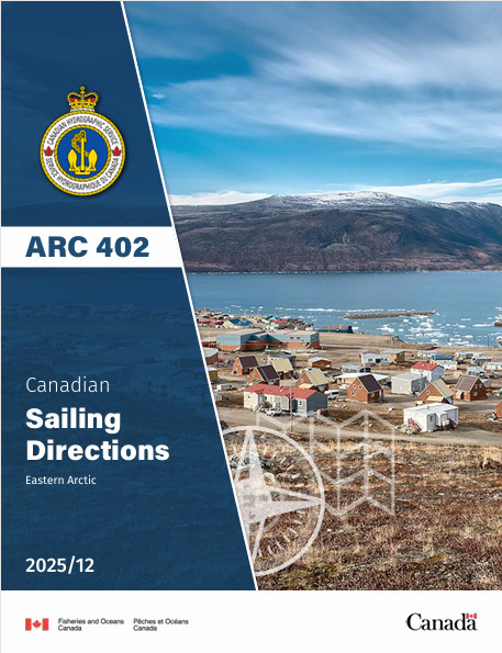
CHS SDIR ARC402 Eastern Arctic 2025/12
$ 28.76
CHS SDIR ARC402 Eastern Arctic 2025 Sailing Directions Eastern Arctic Canada ARC 402The Sailing Directions booklets are an indispensable companion to nautical charts. They are a great tool for planning and assisting in navigation because they provide information that cannot be shown on a chart. Author: CHS Date: 2025 Format: Comb Bound Booklet Number of Pages: 211 CHAPTER 1 Davis Strait — Frobisher BayGeneral _________________________________________________________ 1-1Outer Frobisher Bay — NE side_____________________________________ 1-3Loks Land to Cape Cracroft _____________________________________ 1-3Cape Cracroft to Brewster Point__________________________________ 1-3Outer Frobisher Bay — SW side ____________________________________ 1-4East Bluff to Peters Point _______________________________________ 1-5Peters Point to President’s Seat __________________________________ 1-5Central Frobisher Bay — NE side ___________________________________ 1-6Off-lying islands and dangers____________________________________ 1-6Brewster Point to Opera Glass Cape ______________________________ 1-6Ward Inlet and approaches ______________________________________ 1-7Central Frobisher Bay — SW side ___________________________________ 1-7President’s Seat to Ney Harbour__________________________________ 1-7Ney Harbour to Cape Poillon ____________________________________ 1-8Inner Frobisher Bay approach channels ______________________________ 1-9Pike-Resor Channel ___________________________________________ 1-9Cincinnati Press Channel ______________________________________ 1-10Whiskukun Channel __________________________________________ 1-11Fletcher Channel_____________________________________________ 1-11Bartlett Narrows _____________________________________________ 1-11Algerine Passage and Deep Passage______________________________ 1-12Inner Frobisher Bay______________________________________________ 1-12Cape Rammelsberg to Bay of Two Rivers _________________________ 1-12Inner Frobisher Bay — North side _______________________________ 1-13Inner Frobisher Bay — NE side _________________________________ 1-13Koojesse Inlet _______________________________________________ 1-13CHAPTER 2 Davis Strait — Cumberland SoundGeneral _________________________________________________________ 2-1Loks Land to Cumberland Sound ___________________________________ 2-2Cape Daly to French Headland___________________________________ 2-2Cyrus Field Bay ______________________________________________ 2-2Off-lying islands and dangers____________________________________ 2-3Cape Farrington to Cape Hoey___________________________________ 2-3Cornelius Grinnell Bay_________________________________________ 2-4Robinson Sound ______________________________________________ 2-4Brevoort Harbour _____________________________________________ 2-5Cape Murchison to Christopher Hall Island_________________________ 2-5Cumberland Sound _______________________________________________ 2-6Entrance to Cumberland Sound — SW side ________________________ 2-6Entrance to Cumberland Sound — NE side_________________________ 2-7Cumberland Sound — West side _________________________________ 2-7Cumberland Sound — East side__________________________________ 2-8Pangnirtung Fiord_____________________________________________ 2-9Head of Cumberland Sound ____________________________________ 2-10IVCHAPTER 3 Davis Strait — Cape Mercy to Cape AstonGeneral _________________________________________________________ 3-1Cape Mercy to Cape Dyer __________________________________________ 3-2Leopold Island to Clephane Bay _________________________________ 3-2Clephane Bay to Cape Dyer _____________________________________ 3-2Cape Dyer___________________________________________________ 3-2Cape Dyer to Kangeeak Point_______________________________________ 3-3Cape Dyer to Durban Harbour ___________________________________ 3-4Durban Harbour to Broughton Island______________________________ 3-4Broughton Island _____________________________________________ 3-5Broughton Island to Kangeeak Point ______________________________ 3-6Kangeeak Point to Cape Aston ______________________________________ 3-7Kangeeak Point to Cape Hooper _________________________________ 3-7Cape Hooper_________________________________________________ 3-8Ekalugad Fiord _______________________________________________ 3-8Ekalugad Fiord to Arguyartu Point________________________________ 3-9Arguyartu Point to Cape Henry Kater _____________________________ 3-9Cape Henry Kater to Cape Aston ________________________________ 3-10CHAPTER 4 Baffin Bay — South partGeneral _________________________________________________________ 4-1Cape Aston to Cape Hunter ________________________________________ 4-2Cape Aston to Kangiqtugaapik (Clyde Inlet) ________________________ 4-2Kangiqtugaapik (Clyde Inlet)____________________________________ 4-2Cape Christian to Niaqurnaaluk (Cape Eglinton)_____________________ 4-3Niaqurnaaluk to Cape Hunter____________________________________ 4-3Cape Hunter to Cape Macculloch ___________________________________ 4-5Cape Hunter to Cape Cargenholm ________________________________ 4-5Dexterity Fiord _______________________________________________ 4-5Cape Cargenholm to Cape Macculloch ____________________________ 4-6Pond Inlet _______________________________________________________ 4-7Pond Inlet — North side________________________________________ 4-7Pond Inlet — South side________________________________________ 4-7Tasiujaq_________________________________________________________ 4-9East part of Tasiujaq — North side________________________________ 4-9East part of Tasiujaq — South side________________________________ 4-9Oliver Sound_________________________________________________ 4-9Tay Sound___________________________________________________ 4-9White Bay___________________________________________________ 4-9Milne Inlet _________________________________________________ 4-10Tremblay Sound _____________________________________________ 4-10Navy Board Inlet ________________________________________________ 4-11Navy Board Inlet — South side _________________________________ 4-11Navy Board Inlet — North side _________________________________ 4-12Tay Bay____________________________________________________ 4-12Bylot Island — East and north coasts _______________________________ 4-12Niaqunnguut to Cape Fanshawe_________________________________ 4-12Cape Fanshawe to Navy Board Inlet _____________________________ 4-13CHAPTER 5 Parry Channel — East part — Lancaster Sound and Admiralty InletGeneral _________________________________________________________ 5-1Lancaster Sound — East part_______________________________________ 5-2North side — Cape Sherard to Dundas Harbour _____________________ 5-2Dundas Harbour ______________________________________________ 5-2VDundas Harbour to Cape Bullen__________________________________ 5-3South side — Adams Island to Admiralty Inlet ______________________ 5-3Admiralty Inlet — East side ________________________________________ 5-3Cape Charles Yorke to Strathcona Sound___________________________ 5-4Strathcona Sound _____________________________________________ 5-4Graveyard Point to Adams Sound ________________________________ 5-4Adams Sound and Arctic Bay____________________________________ 5-5Adams Sound to Yeoman Island__________________________________ 5-5Admiralty Inlet — West side________________________________________ 5-6Cape Crauford to Yellow Valley__________________________________ 5-6Inner part of Admiralty Inlet _______________________________________ 5-6Easter Sound_________________________________________________ 5-7Berlinguet Inlet_______________________________________________ 5-7Lancaster Sound — West part ______________________________________ 5-7South side — Cape Crauford to Cape York _________________________ 5-7North side — Cape Bullen to Cape Hurd___________________________ 5-7CHAPTER 6 Prince Regent Inlet — Gulf of Boothia — Committee BayGeneral _________________________________________________________ 6-1Prince Regent Inlet________________________________________________ 6-2Prince Regent Inlet — East side__________________________________ 6-2Prince Regent Inlet — West side _________________________________ 6-3Bellot Strait and approaches________________________________________ 6-4East approaches to Bellot Strait __________________________________ 6-5Bellot Strait__________________________________________________ 6-6Gulf of Boothia ___________________________________________________ 6-6Gulf of Boothia — East side ________________________________________ 6-7Gulf of Boothia — West side ________________________________________ 6-8Cape Farrand to Cape Allington__________________________________ 6-8Cape Allington to Lord Mayor Bay _______________________________ 6-8Lord Mayor Bay ______________________________________________ 6-9Pelly Bay ___________________________________________________ 6-9Committee Bay __________________________________________________ 6-10Committee Bay — East side____________________________________ 6-10Committee Bay — West side ___________________________________ 6-11CHAPTER 7 Parry Channel — East part — Barrow StraitGeneral _________________________________________________________ 7-1Barrow Strait — SE part___________________________________________ 7-2Prince Leopold Island to Pressure Point____________________________ 7-2Barrow Strait — NE part __________________________________________ 7-3Cape Hurd to Cape Spencer _____________________________________ 7-3Cape Hotham to Resolute Bay ___________________________________ 7-4Resolute Bay_________________________________________________ 7-4Barrow Strait — NW part__________________________________________ 7-6Resolute Passage _____________________________________________ 7-6Bathurst Island — South shore___________________________________ 7-6Barrow Strait — SW part __________________________________________ 7-7Prince of Wales Island — NE shore _______________________________ 7-7Baring Channel and Russell Island________________________________ 7-7Offshore islands ______________________________________________ 7-8CHAPTER 8 Barrow Strait to Norwegian Bay including north coastof Bathurst IslandGeneral _________________________________________________________ 8-1VIWellington Channel to Queens Channel ______________________________ 8-2Wellington Channel — East side _________________________________ 8-2Wellington Channel — North side ________________________________ 8-3Wellington Channel — West side_________________________________ 8-3Maury Channel _______________________________________________ 8-4Couch Passage — Pioneer Channel _______________________________ 8-4McDougall Sound to Queens Channel ________________________________ 8-4McDougall Sound — East side __________________________________ 8-5McDougall Sound — West side __________________________________ 8-5Crozier Strait and approaches____________________________________ 8-6Pullen Strait and approaches ____________________________________ 8-6Queens Channel __________________________________________________ 8-7Queens Channel — South part ___________________________________ 8-7Queens Channel — West side__________________
Related products
-
-
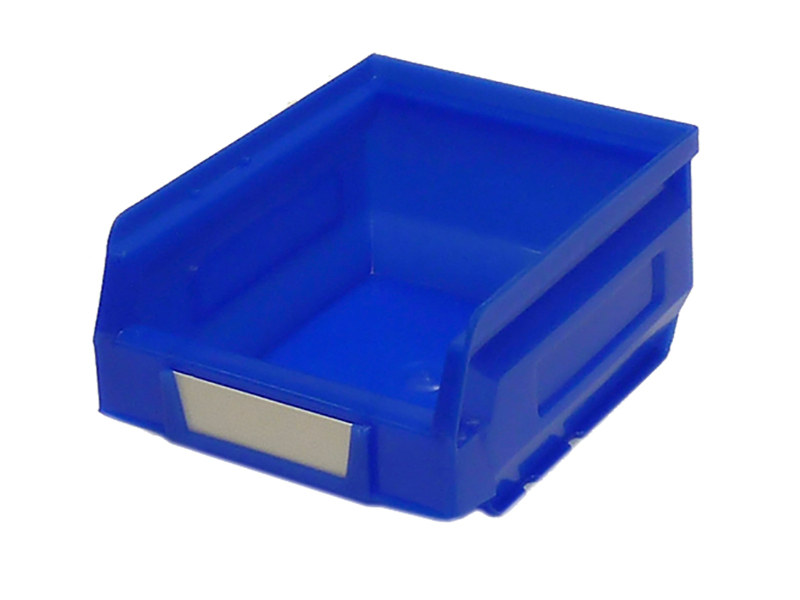
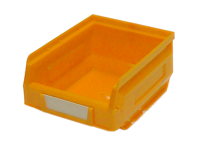
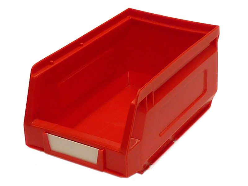
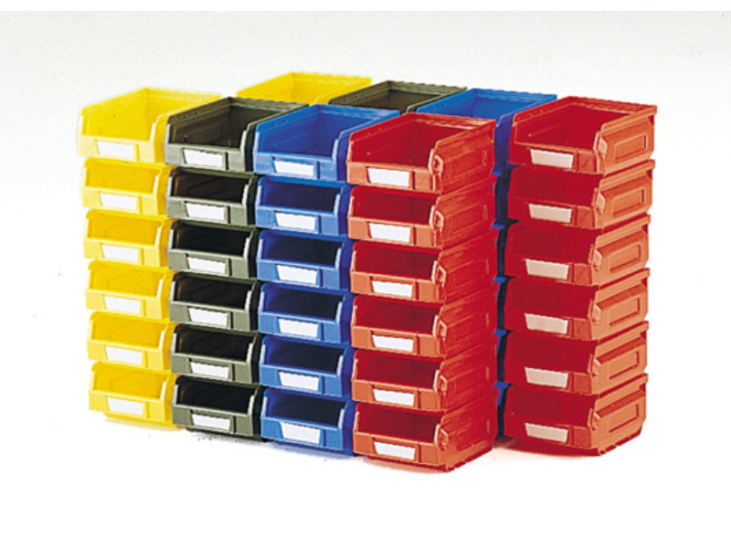 Notions Small Parts Bins – Plastic Bin Kit 2001-B (Pack of 48). WxDxH 103X120X62mm Mixed Colours _SKU-13031001 $ 99.59 Select options This product has multiple variants. The options may be chosen on the product page
 -
-