Nv Charts, Europe & The Arctic Flags, Point Shot, Mbt 018, Chartbooks, Model Cars
CHS SDIR ARC403 Western Arctic 2025/01
$ 22.46
CHS SDIR ARC403 Western Arctic 2022 Sailing Directions Western Arctic Canada ARC 403 The Sailing Directions booklets are an indispensable companion to nautical charts. They are a great tool for planning and assisting in navigation because they provide information that cannot be shown on a chart. Author: CHS Date: 2025 Format: Comb Bound Booklet Number of Pages: 245 CHAPTER 1 Beaufort Sea — Demarcation Point to Kugmallit BayGeneral _________________________________________________________ 1-1Demarcation Point to Herschel Island ________________________________ 1-2Mackenzie Bay ___________________________________________________ 1-4Workboat Passage to Tent Island _________________________________ 1-5Shallow Bay _________________________________________________ 1-7Tent Island to North Head ______________________________________ 1-7CHAPTER 2 Beaufort Sea — Kugmallit Bay to Cape Prince AlfredGeneral _________________________________________________________ 2-1Kugmallit Bay____________________________________________________ 2-2Kugmallit Bay — West Side_____________________________________ 2-3Kugmallit Bay — South Side____________________________________ 2-3Approaches to Tuktoyaktuk Harbour ______________________________ 2-3Tuktoyaktuk Harbour _____________________________________________ 2-4Tuktoyaktuk Harbour — West Side _______________________________ 2-6Tuktoyaktuk Harbour — East Side________________________________ 2-8Tuktoyaktuk _________________________________________________ 2-8Kugmallit Bay to Liverpool Bay _____________________________________ 2-9Kugmallit Bay to McKinley Bay _________________________________ 2-9McKinley Bay _______________________________________________ 2-9McKinley Bay to Russell Inlet __________________________________ 2-10Liverpool Bay ___________________________________________________ 2-10Liverpool Bay — West Side____________________________________ 2-11Liverpool Bay — East Side ____________________________________ 2-11Wood Bay __________________________________________________ 2-13Liverpool Bay — Inner Part____________________________________ 2-15Eskimo Lakes ___________________________________________________ 2-15Banks Island — West Coast _______________________________________ 2-17Cape Kellett to Sea Otter Island _________________________________ 2-17Sea Otter Island to Liot Point ___________________________________ 2-18Liot Point to Cape Prince Alfred ________________________________ 2-19CHAPTER 3 Amundsen Gulf — South PartGeneral _________________________________________________________ 3-1Franklin Bay and Approaches ______________________________________ 3-2Approaches to Franklin Bay_____________________________________ 3-3Franklin Bay — West Side ______________________________________ 3-3Franklin Bay — NE Side _______________________________________ 3-3Franklin Bay — East Side ______________________________________ 3-8Darnley Bay and Approaches ______________________________________ 3-10Darnley Bay — West Side _____________________________________ 3-11Approaches to Paulatuk _______________________________________ 3-13Darnley Bay — East Side______________________________________ 3-15Darnley Bay to Dolphin and Union Strait ____________________________ 3-16Cape Lyon to Pearce Point _____________________________________ 3-16Pearce Point Harbour _________________________________________ 3-17Pearce Point Harbour to Clifton Point ____________________________ 3-19IVCHAPTER 4 Amundsen Gulf — North PartGeneral _________________________________________________________ 4-1Banks Island — SW Coast _________________________________________ 4-2Sachs Harbour and Approaches __________________________________ 4-2Banks Island — SE Coast __________________________________________ 4-4De Salis Bay and Approaches____________________________________ 4-4Cape Cardwell to Alexander Milne Point___________________________ 4-5Walker Bay and Approaches________________________________________ 4-5Minto Inlet ______________________________________________________ 4-6Minto Inlet — North Side_______________________________________ 4-6Minto Inlet — North Arm_______________________________________ 4-7Minto Inlet — South Side_______________________________________ 4-7Minto Inlet — South Arm_______________________________________ 4-7Minto Inlet to Prince Albert Sound __________________________________ 4-7Ulukhaktok (Holman) and Approaches ____________________________ 4-7Prince Albert Sound______________________________________________ 4-10Prince Albert Sound — North Side ______________________________ 4-10Prince Albert Sound — South Side ______________________________ 4-11CHAPTER 5 Dolphin and Union StraitGeneral _________________________________________________________ 5-1Dolphin and Union Strait __________________________________________ 5-2Clifton Point to Cape Young_____________________________________ 5-2Cape Baring to Williams Point ___________________________________ 5-4Cape Young to Chantry Island ___________________________________ 5-4Bernard Harbour______________________________________________ 5-6Point Caen to Ipiolik Point ______________________________________ 5-8Lambert Channel _____________________________________________ 5-9Cache Point Channel _________________________________________ 5-10CHAPTER 6 Coronation Gulf — Bathurst InletGeneral _________________________________________________________ 6-1Coronation Gulf __________________________________________________ 6-2Lady Franklin Point to Richardson Islands _________________________ 6-2Johansen Bay ________________________________________________ 6-3Richardson Islands and Approaches_______________________________ 6-4Cape Krusenstern to Cape Kendall________________________________ 6-7Kugluktuk and Approaches _____________________________________ 6-7Kugluktuk___________________________________________________ 6-8Kugluktuk to Port Epworth ____________________________________ 6-11Port Epworth________________________________________________ 6-12Port Epworth to Bathurst Inlet __________________________________ 6-16Bathurst Inlet and Approaches_____________________________________ 6-16Bathurst Inlet — West Entrance _________________________________ 6-17Bathurst Inlet — East Entrance _________________________________ 6-19Arctic Sound and Approaches __________________________________ 6-20Bathurst Inlet — Inner Part ____________________________________ 6-21Melville Sound and Approaches ____________________________________ 6-27Melville Sound ______________________________________________ 6-27Elu Inlet ___________________________________________________ 6-28VCHAPTER 7 Dease Strait — Queen Maud GulfGeneral _________________________________________________________ 7-1Dease Strait______________________________________________________ 7-2Murray Point to Byron Bay _____________________________________ 7-2Byron Bay to Wellington Bay____________________________________ 7-2Cape Flinders to Trap Point _____________________________________ 7-3Wellington Bay to Cambridge Bay________________________________ 7-4Cambridge Bay_______________________________________________ 7-4Queen Maud Gulf_________________________________________________ 7-9Queen Maud Gulf — North Side ________________________________ 7-10Queen Maud Gulf — South Side ________________________________ 7-12Queen Maud Gulf — East Side _________________________________ 7-13Storis Passage to Requisite Channel_________________________________ 7-14Storis Passage _______________________________________________ 7-18CHAPTER 8 Simpson Strait to Larsen Sound — Coastal routeGeneral _________________________________________________________ 8-1Simpson Strait ___________________________________________________ 8-2Cape John Herschel to M’Clintock Bay____________________________ 8-2M’Clintock Bay ______________________________________________ 8-3M’Clintock Bay to Ristvedt Island________________________________ 8-3Ristvedt Island to Rasmussen Basin_______________________________ 8-5Rasmussen Basin _________________________________________________ 8-6Chantrey Inlet ________________________________________________ 8-6Rasmussen Basin — SE Shore___________________________________ 8-6Shepherd Bay and Approaches___________________________________ 8-7Rasmussen Basin — NW Shore __________________________________ 8-8Rae Strait ______________________________________________________ 8-11St. Roch Basin___________________________________________________ 8-12St. Roch Basin — East Side ____________________________________ 8-12Spence Bay _________________________________________________ 8-13St. Roch Basin — West Side ___________________________________ 8-17James Ross Strait ________________________________________________ 8-17Humboldt Channel and Wellington Strait__________________________ 8-18James Ross Strait — East Entrance ______________________________ 8-19James Ross Strait — NE Shore _________________________________ 8-21James Ross Strait — SW Shore _________________________________ 8-22CHAPTER 9 Victoria Strait to Parry ChannelGeneral _________________________________________________________ 9-1Victoria Strait ____________________________________________________ 9-2Victoria Strait — West Side _____________________________________ 9-3Victoria Strait — East Side______________________________________ 9-4Larsen Sound ____________________________________________________ 9-6Larsen Sound — East Side______________________________________ 9-6M’Clintock Channel_______________________________________________ 9-6M’Clintock Channel — East Side ________________________________ 9-7M’Clintock Channel — West Side ________________________________ 9-8Franklin Strait ___________________________________________________ 9-9Franklin Strait — East Side _____________________________________ 9-9Franklin Strait — West Side____________________________________ 9-10Bellot Strait — West Approach_____________________________________ 9-11VIPeel Sound______________________________________________________ 9-11Peel Sound — South Part — East Side ___________________________ 9-11Peel Sound — South Part — West Side ___________________________ 9-13Peel Sound — North Part — East Side ___________________________ 9-14Peel Sound — North Part — West Side ___________________________ 9-15CHAPTER 10 Parry Channel — West partGeneral ________________________________________________________ 10-1Viscount Melville Sound __________________________________________ 10-2Viscount Melville Sound — South shore _____________________________ 10-2Cape Berkeley to Hadley Bay __________________________________ 10-2Hadley Bay _________________________________________________ 10-3Wynniatt Bay _______________________________________________ 10-3Wynniatt Bay to Prince of Wales Strait ___________________________ 10-4Viscount Melville Sound — North shore _____________________________ 10-4Cape Cockburn to Bridport Inlet ________________________________ 10-4Bridport Inlet _______________________________________________ 10-5Bridport Inlet to Ca
Related products
-
-
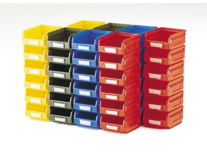
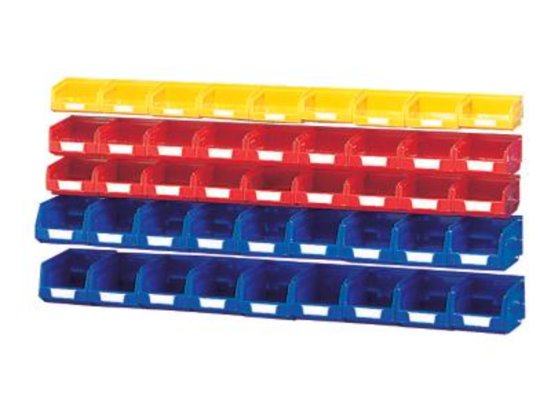
 Notions Small Component Boxes – Plastic Bin Kit Mixed (Pack of 27). Mixed Colours _SKU-13031196 $ 91.34 Select options This product has multiple variants. The options may be chosen on the product page
 -
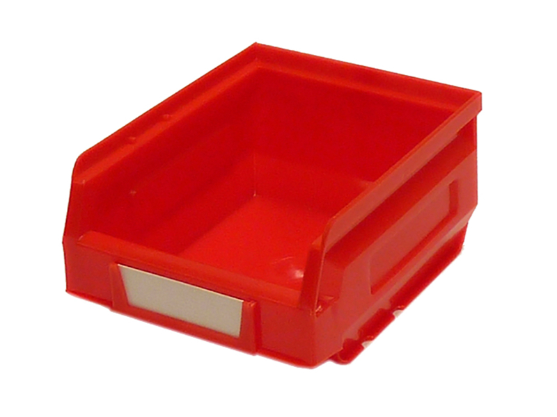
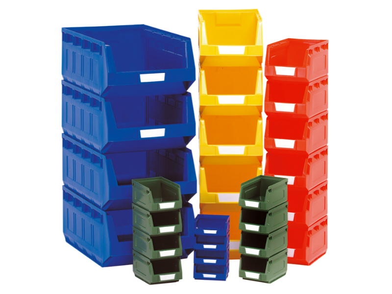
 Crochet Notions Small Parts Boxes – Plastic Bin Kit Mixed (Pack of 45). Mixed Colours _SKU-13031092 $ 92.36 Add to cart
 -